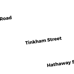
195 WHITMAN ST
Owner Information
IMMANUEL BAPTIST CHURCH
WHITMAN ST
NEW BEDFORD, MA 02745


Property Details
195 WHITMAN ST is classified as a Church, Mosque, Synagogue, Temple, etc... (Church).
The primary structure on this property was built in 1910. There are 3,065ft2 of built area within this property. There is 3,065ft2 of residential/living space within this property.
195 WHITMAN ST is valued at $433,300. The land is valued at $90,700 and the structures are valued at $337,700. There is an additional valuation of $4,900 on this property.
This property is in Zone RC. Confirm with local Zoning Board authorities to ensure there are no overlays or other easements on this property.
195 WHITMAN ST was last sold on Sunday, December 31, 1989 for $0.
Assessment data from fiscal year 2021.
Flood Data
According to the FEMA National Flood Hazard Layer, this property does not appear to be in a flood zone. It may also be in an area not yet reviewed. Nonetheless, confirm this information prior to taking any action.
To view the flood hazards around this property, create a FEMA "Firmette" Map of the area around 195 WHITMAN ST.
Broadband Internet Providers
| Provider | Type | Bandwidth (mbps) | |
|---|---|---|---|
| Viasat Inc | Satellite | 35 | 3 |
| Verizon New England Inc. | DSL | 7 | 0 |
| PAETEC Communications, Inc | DSL | 0 | 0 |
| Comcast | Cable | 1000 | 35 |
| GCI Communication Corp. | Satellite | 0 | 0 |
| HughesNet | Satellite | 25 | 3 |
| VSAT Systems, LLC. | Satellite | 2 | 1 |
Broadband service provider data from December 2020.
Adjacent Properties
- 201 203 WHITMAN ST
Three-Family Residential owned by GOUVEIA JOSE JR "TRS" - 191 WHITMAN ST
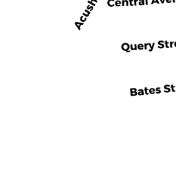
Two-Family Residential owned by FERREIRA SHAWN S - 1737 ACUSHNET AVE
Small Retail and Services stores (under 10,000 sq. ft.) owned by PHARMACY PORTFOLIO V DST - 190 EUGENIA ST
Three-Family Residential owned by MIRANDA ANTONIO - 194 EUGENIA ST
Three-Family Residential owned by J-PLUS REALTY,LLC - 198 EUGENIA ST
Three-Family Residential owned by MAGALHAES MARIA